Due to its proximity to active faults, the highly urbanized City of Baguio has experienced strong earthquakes in the past, including the M7.8 July 16, 1990 Luzon Earthquake that caused loss of lives and major damages to infrastructures, and the recent M7.0 Northwestern Luzon Earthquake on July 27, 2022 that resulted in several structural damages. These seismic events highlight the importance of making human-built structures in Baguio City earthquake-resilient.
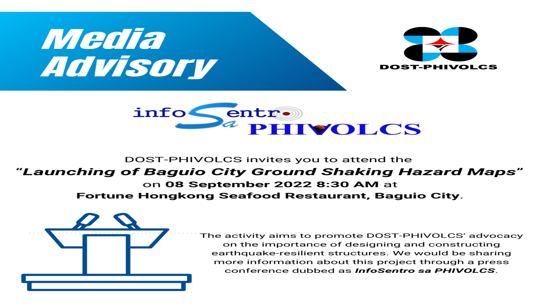
To promote this advocacy, the Department of Science and Technology–Philippine Institute of Volcanology and Seismology (DOST-PHIVOLCS) will launch the “Baguio City Ground Shaking Hazard Maps (BCGSHM)” on 08 September 2022, 8:30 AM at the Fortune Hong Kong Seafood Restaurant, Baguio City. It is a compilation of maps that provides information on the levels of ground motion and site response during strong earthquakes based on the characteristics of the underlying soil and rock layers and the effects of specific topography, in this case, mountainous terrain such as Baguio City. These maps can be a reference for structural engineers in designing and constructing earthquake-resilient buildings and infrastructures in Baguio City.
A press conference dubbed “InfoSentro sa PHIVOLCS” and a technical workshop will also be held to cater to participants from the Baguio City Government, private firms and land developers, universities within Baguio City, and other stakeholders. This event will help them interpret the data presented in the maps, identify ground conditions on-site using the publication and estimate the natural vibration of buildings to determine the existing structures that might be vulnerable to intense ground shaking. The activities aim to ensure that the stakeholders will effectively use the maps in comprehensive land use and development planning and earthquake risk reduction efforts to prevent loss of lives and property damage.
The BCGSHM is one of the outputs of the “Passive Seismic Stratigraphy of Irregular Topography (PSSIT) Applicable to Mountainous Areas of Baguio City” project funded by DOST. PSSIT Staff will distribute printed copies of the BCGSHM during the event. The digital copy of the publication will be available for download at the DOST-PHIVOLCS website: www.phivolcs.dost.gov.ph.


